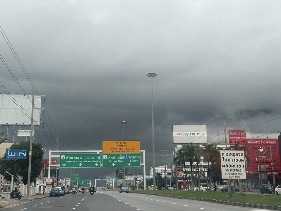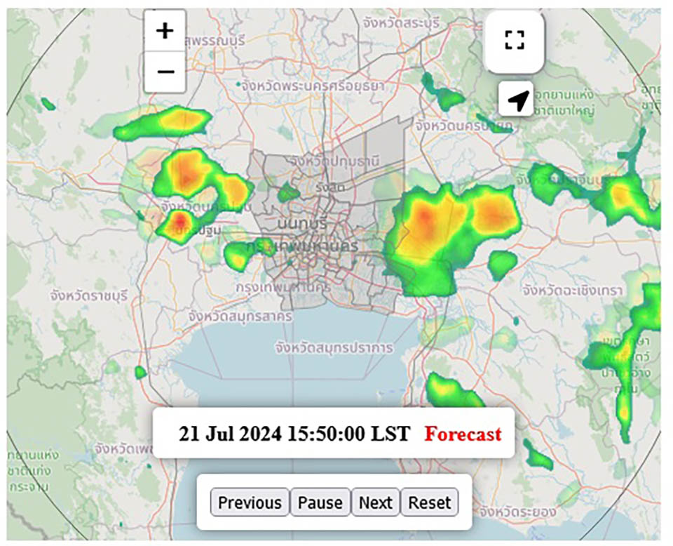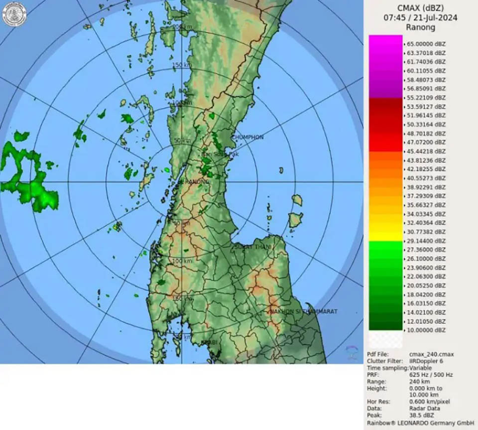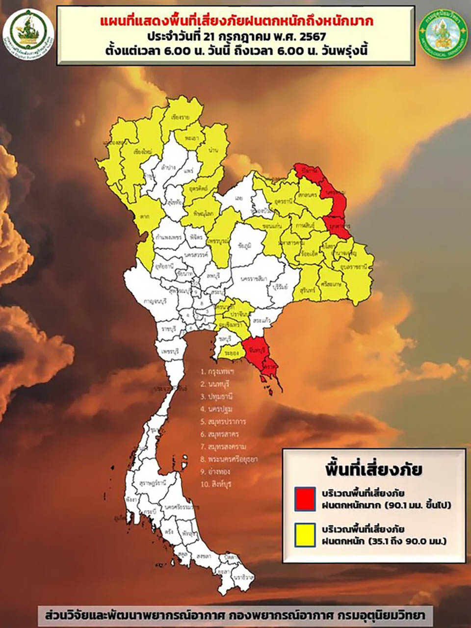
The Meteorological Department warns the Northeastern and Eastern regions to prepare for heavy rainfall in some areas, which may lead to flash floods and forest runoff.
The Meteorological Department revealed that the monsoon trough lies across the upper northern region, the upper northeastern region, and upper Laos. Additionally, the southwest monsoon covering the Andaman Sea, Thailand, and the Gulf of Thailand is moderate. This condition will cause heavy rainfall in some areas of the northern region, with very heavy rainfall in some parts of the eastern part of the northeastern region and the eastern region. People in these areas are advised to beware of severe to very heavy rainfall and accumulated rain, which may cause flash floods and forest runoff, especially in foothill areas near waterways and low-lying areas.
For the Andaman Sea and the Gulf of Thailand, moderate winds and waves are expected, with waves about 2 meters high in the upper Andaman Sea. In the lower Andaman Sea and the upper Gulf of Thailand, waves are 1-2 meters high, and in areas with thunderstorms, waves will be more than 2 meters high. Sailors in these areas should proceed with caution and avoid sailing in areas with thunderstorms.
Moreover, a depression over the upper South China Sea, with its center about 300 kilometers southeast of Hainan Island, China, is expected to strengthen into a tropical storm. It is forecasted to pass over Hainan Island and make landfall in southern China between July 21-23. This storm will not directly affect the weather conditions in Thailand. However, those planning to travel to the mentioned areas are advised to check the weather conditions before their departure.


