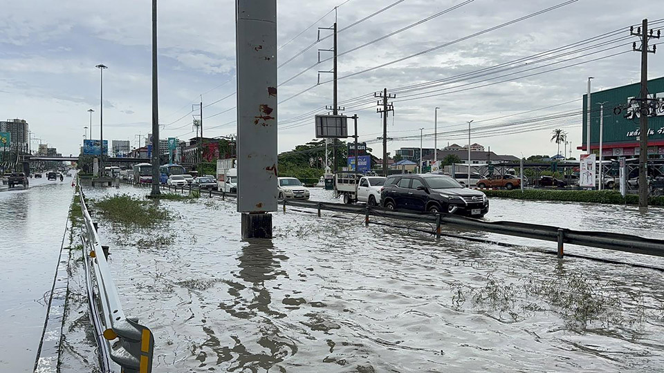
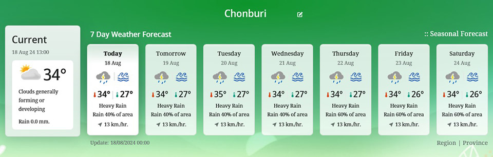
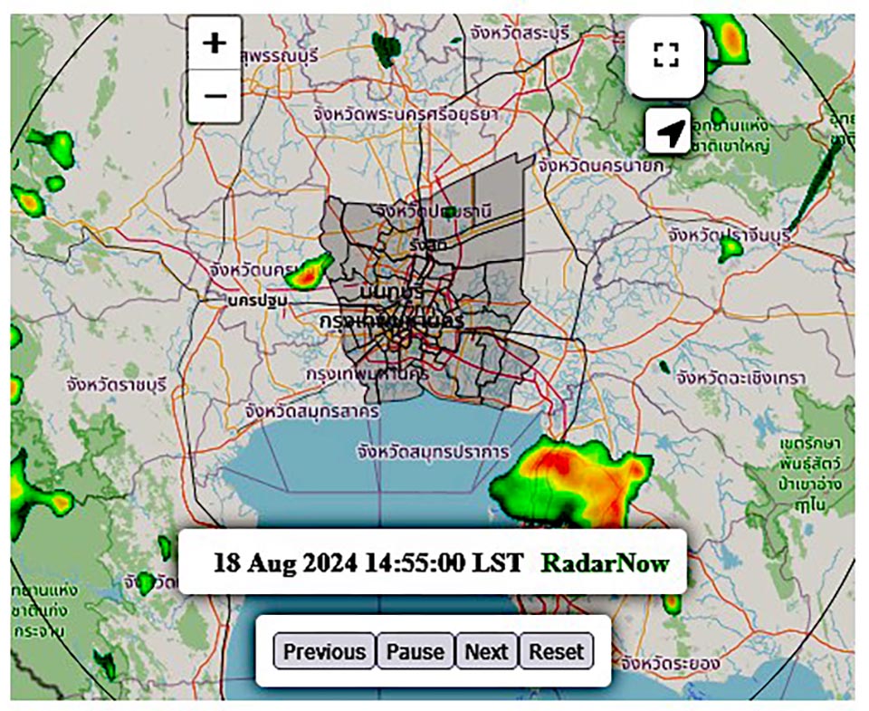
The Thai Meteorological Department has issued a weather alert due to a medium-intensity monsoon trough passing through the northern and upper northeastern regions of the country. This system is linked to a low-pressure cell located over northern Vietnam and the Gulf of Tonkin. In addition, the southwest monsoon continues to sweep across the Andaman Sea, Thailand, and the Gulf of Thailand. The combination of these weather patterns is causing heavy rainfall in parts of northern, northeastern, central, eastern (Pattaya City), and southern Thailand, including Bangkok and its surrounding areas.
Citizens in these regions are advised to be on high alert for potential hazards from heavy rainfall and accumulated precipitation, which may lead to flash floods and runoff, particularly in foothill areas near waterways and low-lying regions.
For those at sea, waves in the Andaman Sea and the Gulf of Thailand are expected to reach around 1 meter in height, with thunderstorms potentially generating waves over 2 meters high. Mariners are advised to avoid navigating in stormy areas.
Meanwhile, Typhoon “Ampil”, located to the east of Japan, poses no impact on Thailand’s weather conditions. However, travelers planning trips to the affected areas are encouraged to monitor the weather forecasts before departing.


