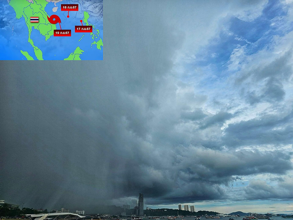
BANGKOK, Thailand – The Meteorological Department released its 4th announcement regarding the tropical depression currently located over the northern part of the South China Sea, with its center at latitude 17.0°N and longitude 114.5°E. The storm has maximum wind speeds of 55 km/h near its center and is moving west at approximately 25 km/h. It is expected to strengthen into a tropical storm and make landfall in central Vietnam between September 20-21, before gradually weakening.
This system is expected to bring increased rainfall to Thailand, with heavy to very heavy rain forecasted in the northern, northeastern, eastern, southern regions, and Bangkok metropolitan area between September 20-23. Strong winds are also anticipated during this period.
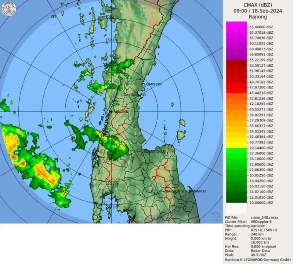
Additionally, from September 18-21, a strong monsoon trough will stretch across the lower northern, central, and northeastern regions, while the southwest monsoon will intensify over the Andaman Sea, southern Thailand, and the Gulf of Thailand. These conditions will lead to heavy rainfall in some parts of these regions, with particularly heavy rain expected in the eastern and southern areas.
Meanwhile, strong winds and rough seas are forecasted for the Andaman Sea and upper Gulf of Thailand, with waves reaching 2-4 meters in height, and over 4 meters in stormy areas. The lower Gulf of Thailand is expected to see waves up to 2 meters, with waves exceeding 3 meters in stormy regions. Mariners are advised to proceed with caution and avoid sailing in areas with thunderstorms. Boats in the Andaman Sea and Gulf of Thailand are advised to remain ashore during the warning period.


