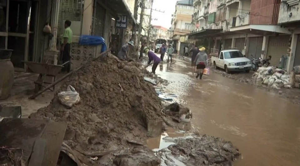
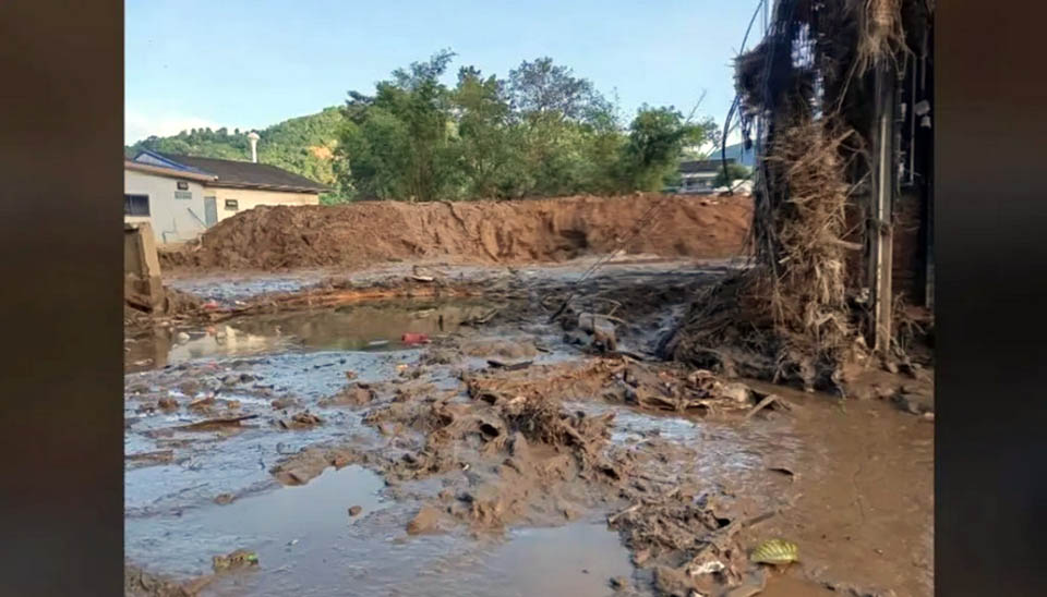
CHIANG RAI, Thailand – Recent laboratory tests on sediment from the devastating floods in Mae Sai district, Chiang Rai province, have revealed an unexpected boon: a rich concentration of minerals suitable for agriculture, Oct 1.
The floods, which caused widespread damage to homes, businesses, and infrastructure, left behind thick layers of sediment. While the aftermath has been catastrophic for the local community, the discovery of these mineral-rich deposits offers a glimmer of hope for future agricultural endeavors.
Mongkonkorn Srivichai, an associate professor at Rajamangala University of Technology Lanna Chiang Rai, confirmed the findings.
Samples of the sediment were sent to a specialized agricultural science and technology laboratory, and the results were remarkable. The sediment is packed with minerals that are ideal for farming, he said.
The question of how such a vast amount of sediment ended up in Mae Sai has been answered by the Geo-Informatics and Space Technology Development Agency (GISTDA). According to GISTDA, the city of Mae Sai is situated at the foot of a mountain range and adjacent to a river that originates from these mountains. Geological studies have shown that the area, particularly along the banks of the Mae Sai River near the Thai-Myanmar border, has accumulated sediment deposits over many years.
The natural topography of the region, combined with the heavy rainfall, caused the river to overflow its banks with tremendous force. The Sai River, which flows through mountainous terrain primarily in Myanmar, only passes through a small portion of the Mae Sai-Tachilek lowlands in Thailand. While such geographical conditions usually bring fertility to the land, human activities have altered the delicate balance of the ecosystem. Deforestation and mining in the upper reaches of the river have reduced the forest’s ability to absorb water and mitigate the impact of floods.
High-resolution satellite images captured on September 13, 2024, provide compelling evidence of the scale of the problem. These images reveal numerous landslides in the areas near the Myanmar border.
The landslides, characterized by their reddish-brown color, contrast sharply with the surrounding green forests and agricultural lands. Each landslide scar extends tens to hundreds of meters in length and up to 20-30 meters in width, equivalent to a four-lane road. These landslides are a primary source of the massive sediment deposits that have inundated the lower-lying areas. (TNA)


