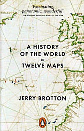
I have always enjoyed being in the company of anyone who is totally passionate about some subject, even if I (previously) had no interest in it at all. Author of “A History of the World in Twelve Maps” (ISBN 978-0-141-03493-5, Penguin, 2013) is Jerry Brotton, a man whose passion is maps.
I have always been fascinated that human beings managed to previously produce any maps at all, when the highest the map-makers could get above the ground was a convenient tree. As someone who needs a map to get around the “Dark Side” of Pattaya, this is another reason for my interest in maps. Brotton in fact informs that we have been making maps for the past 30,000 years, so you would have thought that Homo sapiens would be better at map reading than we are.

In the early chapter, author Brotton draws the reader’s attention to the simple fact that today’s maps have North at the top of the page – why? Something I believe 99 percent of us have never even considered.
He also looks at the difficulties the ancient cartographers had in trying to express the features of the globe on a flat sheet of paper. This, of course came after the acceptance that the world was a sphere and not flat – though there are still some exponents of a flat earth discipline, despite thousands of years of illumination!
In the 10th century, scholars called upon Suhrab’s map and that of Al-Mahmun when they were given the task of calculating the circumference of the earth. Remembering that in the desert there were no tall trees to allow elevation, scholars went out and measured the sun’s angle of elevation between two cities, did the necessary calculations and came within 100 km of the true circumference as we know it today, through our direct scientific measurement. And that was over 1,000 years ago.
In the early 1500’s with the adoption of moveable type and the invention of the printing press, maps became standardized, allowing for discussion between different parties who could compare the land masses with a new degree of accuracy. Maps that influenced history as well as geography.
After all these different maps, Brotton comes to the archetypal “map” of the 21st Century – Google Earth. He describes the work of “geospatial technologists” who are the modern day cartographers. This is to show that the art and science of map making is still a work in progress, rather than the dry and dusty maps we all used at school. (Mercator’s Projection from memory from my years as a pupil.)
He delves into recent history and how the computer chip became a universal medium for everyone, and the maps they wanted. This was considered to be in the realms of science fiction initially, but the acceptance is now commonplace.
At B. 605 at Bookazine, this is a fascinating book, reflecting the enthusiasm of the author Jerry Brotton, and with a comprehensive Index and Notes plus almost 20 color plates of different maps through the ages, this makes it an exceptional literary bargain. I loved it.


