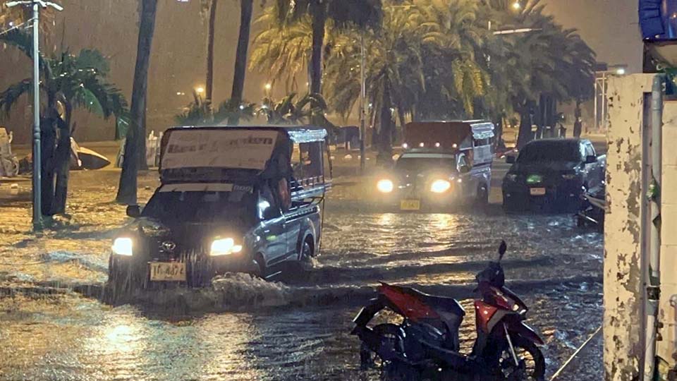
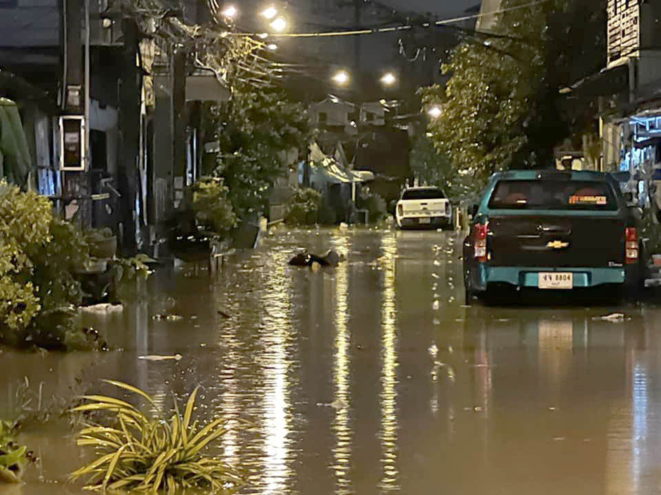
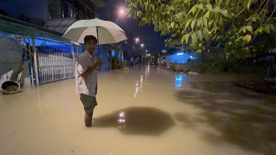
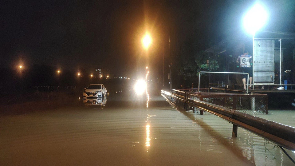
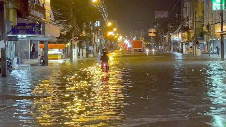
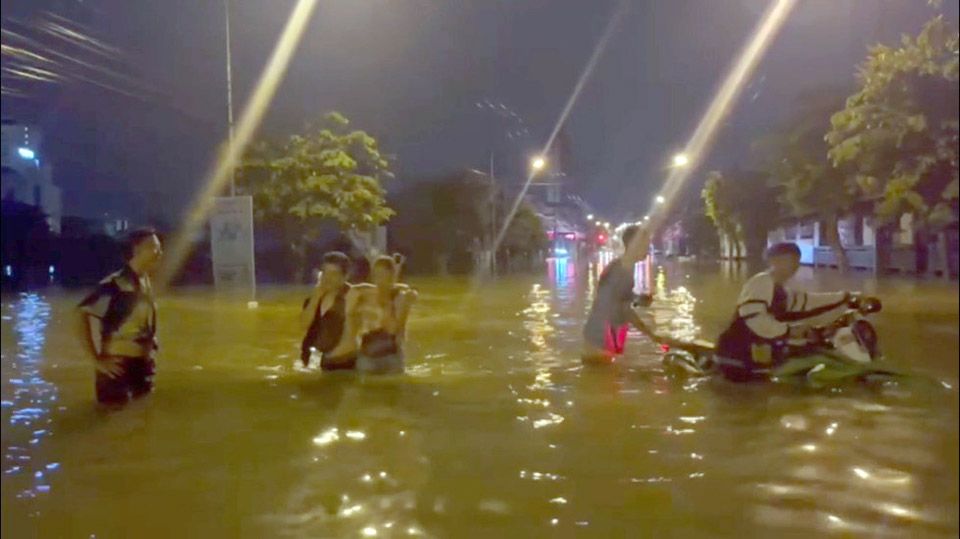
Many areas in Pattaya, Jomtien and Banglamung district were inundated in the early morning hours of Monday Sept 12. Two hours of heavy rain and thunderstorms that spread throughout the famous tourist destination this morning repeatedly affected the areas that were under water a week ago.
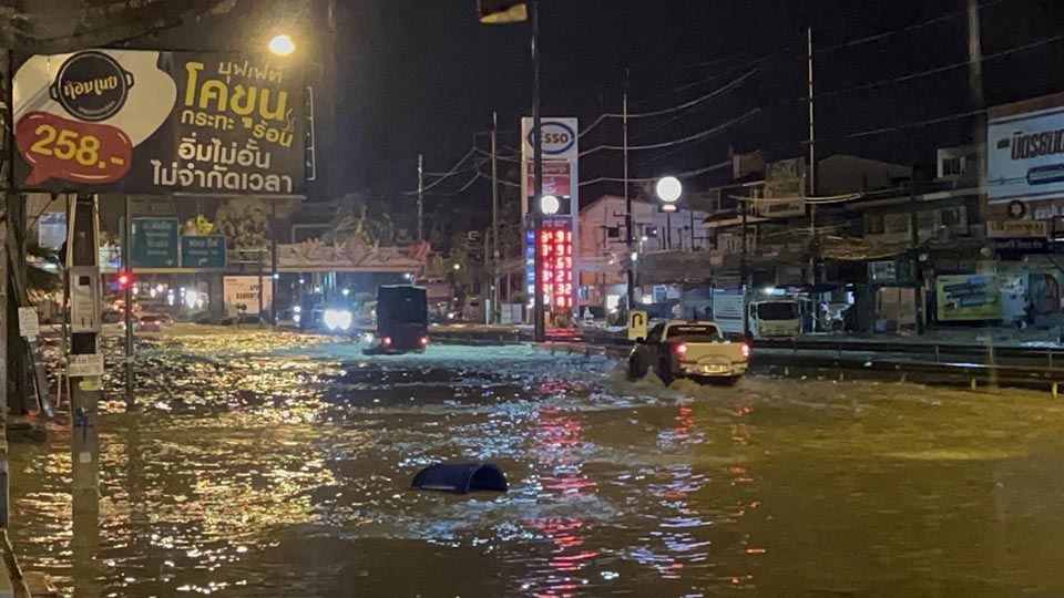
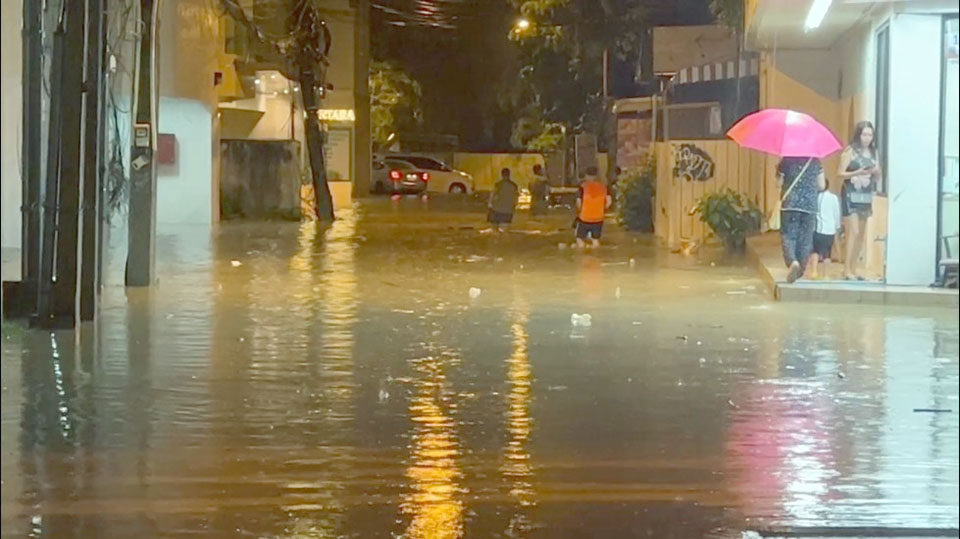
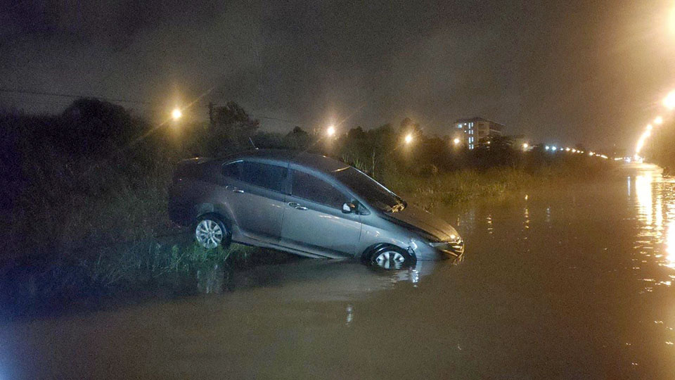
Residential areas such as Soi Khao Noi, Soi Khao Talo, third roads as well as popular spots such as the South Pattaya Walking Street, Pattaya and Jomtien beach roads were under water for about 2 hours before subsiding. Many parts of Sukhumvit road that flood frequently were not spared. Officials set up pumps to drain the tremendous amount of water from affected residences. Volunteers aided drivers who’s vehicles were stranded in the floods on Sukhumvit highway and several local roads.
Weather Forecast for Pattaya and Eastern Part
Fairly widespread thundershowers and isolated heavy rains in Nakhon Nayok, Prachinburi, Sa Kaeo, Chachoengsao, Chonburi (Pattaya), Rayong, Chanthaburi and Trat. Minimum temperature 23-26 °C. Maximum temperature 32-34 °C. Southwesterly winds 15-30 km/hr. Wave height about 1 meter and above 1 meter in thundershowers.
During 12 – 14 Sep, southwesterly winds 15-30 km/hr. Wave height about 1 meter and above 1 meter in thundershowers.
During 15 – 18 Sep, southwesterly winds 20-35 km/hr. Wave height about 2 meters and above 2 meters in thundershowers. Minimum temperature 23-28 °C. Maximum temperature 29-36 °C.
Weather Warning Across Thailand
‘Heavy to Very Heavy Rains in Thailand and Strong Wind-Waves in upper portions of Andaman Sea and Gulf’
The moderate monsoon trough lies across the lower North, the upper Central into the low-pressure cell over the Northeast. At the same time, the moderate southwest monsoon prevails over the Andaman Sea, the South and the Gulf. Torrential rains are likely in the overall country, isolated heavy to very heavy rains are possible for the North, the Northeast, the Central including Bangkok and its vicinity and the East. People should beware of the severe conditions that may cause flash floods and overflows, especially along the foothills near waterways and lowlands.



 |
 |
 |


