Weather Forecast for Pattaya and Eastern Part
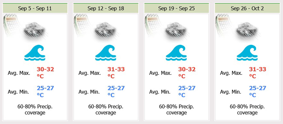
Fairly widespread thundershowers and isolated heavy to very heavy rains in Nakhon Nayok, Chachoengsao, Prachinburi, Sa Kaeo, Chonburi (Pattaya, Jomtien, Koh Larn Island), Rayong, Chanthaburi and Trat. Minimum temperature 22-26 °C. Maximum temperature 30-32 °C. Southwesterly winds 20-40 km/hr. Wave height 2-3 meters and above 3 meters in thundershowers.
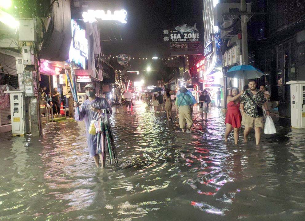
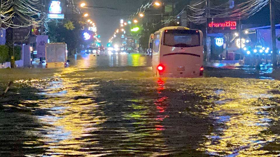
People living on Pattaya third road, Soi Khao Talo, Soi Khao Noi as well as tourists who are planning to visit Soi Bua khao and Walking Street advised to be alert of weather forecast and possible flashfloods on the next 2-3 days. While sea travelers on fishing trips and islands visits are warned of high waves in thundershowers and put life-vests on at all times.
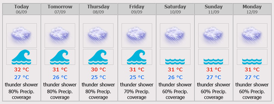
During 7-9 Sept, scattered to fairly widespread thundershowers throughout the period with isolated heavy to very heavy rains. Southwesterly winds 20-40 km/hr. Wave height 2 – 3 meters and above 3 meters in thundershowers.
During 10-12 Sept, Scattered to fairly widespread thundershowers with isolated heavy rains. Southwesterly winds 15-30 km/hr. Wave height about 1 meter and above 1 meter in thundershowers. Minimum temperature 23-28 °C. Maximum temperature 29-36 °C.
Weather Warning Across Thailand
‘Heavy to Very Heavy Rain in Thailand and Strong Wind-Waves in upper portions of Andaman Sea and Gulf’
The high-pressure system from China still covers the upper Laos, the upper North and the Northeast of Thailand, causing the active monsoon trough lies across the lower North, the Central region and the lower Northeast into the low-pressure cell over the middle South China Sea. Meanwhile, the rather strong southwest monsoon prevails over the Andaman Sea, the South and the Gulf. Abundant rains are likely in the overall country and isolated heavy to very heavy rains are possible for the North, the Northeast, the Central including Bangkok and its vicinity, the East and the South. People should beware of heavy rains and its accumulation that may cause flash floods and overflows, especially along the foothills near waterways and lowlands.


 |
 |
 |


