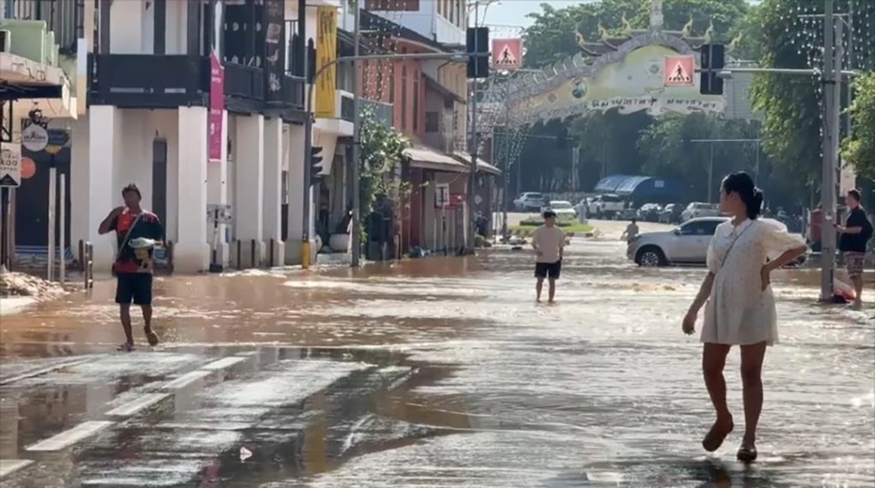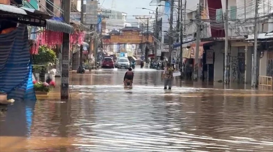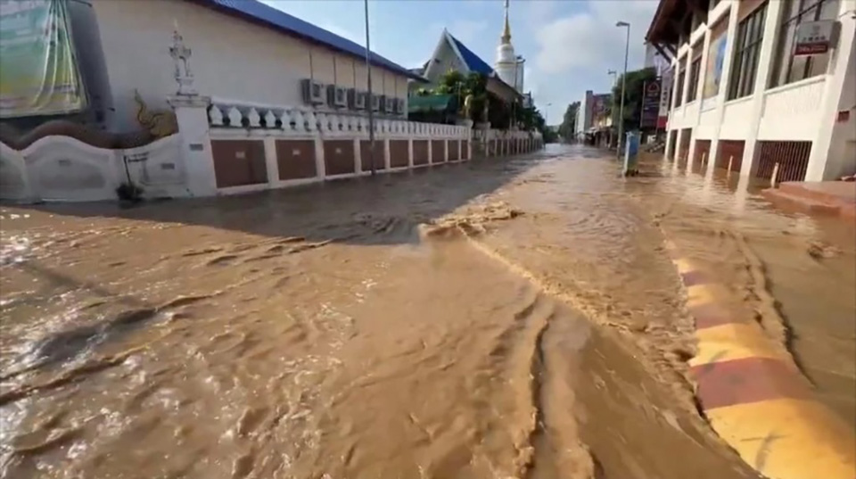
CHIANG MAI, Thailand – The flood situation in Chiang Mai city remains severe, despite a slow decline in water levels. Floodwaters from the Ping River continue to spread across vast areas, with the Chang Khlan and Night Bazaar districts experiencing water levels as high as nearly 1 meter, transforming city streets into fast-flowing rivers. Meanwhile, Saraphi District is facing increasing damage, with floodwaters rising rapidly and expanding into more areas.
As of 11:00 a.m. on October 6, the water level at the Ping River measuring point (P1) near the Nawarat Bridge has receded to 4.85 meters, down by 5 centimeters from the previous hour and 50 centimeters since last night. However, the water level in the upper part of the city has dropped by over 1 meter, while floodwaters within the city are receding at a much slower pace. It is expected that it will take 3-4 days for water levels to return to normal, with additional pumping required in low-lying areas.
A survey of the city found that in many areas, flood levels have decreased by only 30 centimeters from their peak. The Muang Mai Market area is still under 60-70 centimeters of water, making it inaccessible to small vehicles. Roads such as Chang Moi and the Warorot Market (Kad Luang) remain submerged, with floodwaters continuing to surge through the streets, particularly along Chang Moi Road, which connects to Chang Khlan Road and the Night Bazaar, where fast-moving water continues to flow through the heart of the city.

While water levels on Thapae Road, which were previously overflowing up to the Thapae Gate, have receded significantly, some sections remain submerged. The water now extends to the intersection with Chang Khlan Road, where strong currents continue to flood the Night Bazaar area with waist-deep water (80-100 centimeters), requiring the use of boats or large trucks for transportation.
In the Warorot Market area (Kad Luang), Ton Lamyai Market, and along Charoen Prathet and Chang Khlan roads, floodwaters are receding very slowly due to a breach in a sandbag barrier along the Ping River, allowing river water to continue flowing into the city.
On the eastern side of the Ping River, water has reached the Chiang Mai-Lampang Superhighway (Highway 11), marking the highest recorded flood levels in the area.
In addition, the floodwaters from the Ping River have begun to affect downstream areas, particularly in Saraphi District, where water levels have risen sharply. Fast-moving floodwaters have inundated agricultural land and homes in several sub-districts, with levels continuing to rise rapidly.


