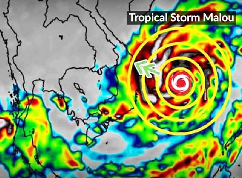
The Meteorological Department has clarified that tropical storm Malou will not be approaching Thailand at the end of this month as widely reported in the media, although upper Thailand will experience volatile weather as well as heavy rains, strong winds, and lighting strikes.
The Meteorological Department has asserted that Malou will not approach Thailand, and its path would take it toward Japan instead.
The weather bureau reported, however, that the low-pressure area in the South China Sea could strengthen into a storm and thus warranted close monitoring. The cell was moving toward Vietnam and could trigger increased rainfall in Thailand’s Eastern, Southern and Central regions as well as in the lower portion of its Northeastern Region. However, if cold air from China extends downward at the time of the storm making landfall in Vietnam, the storm would weaken in the same way as the previous Kompasu and Lionrock storms.
From now until Wednesday (27 Oct), the weather bureau expects little rainfall in upper Thailand. But continuous rainfall is expected in the South and Gulf of Thailand, with heavy rains to occur in some areas. These may trigger flash floods and forest runoffs.
From October 28 to November 3, a cold air mass from China will extend to cover upper Thailand and the South China Sea. This is expected to result in volatile weather, heavy rains, strong winds, and lighting strikes. (NNT)
 |
 |
 |


