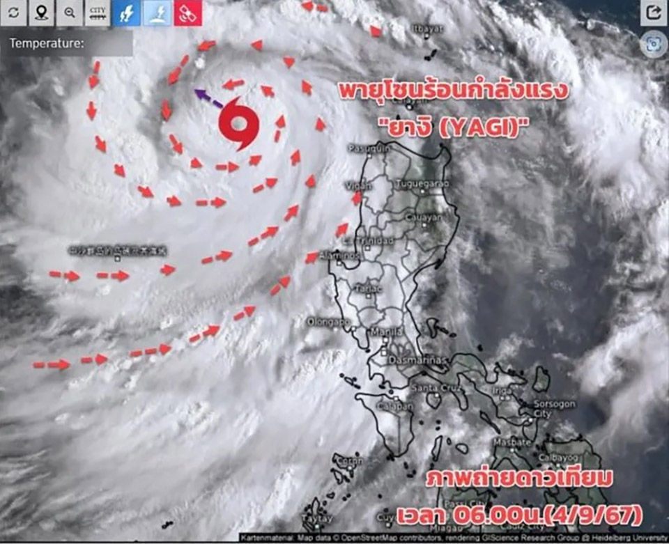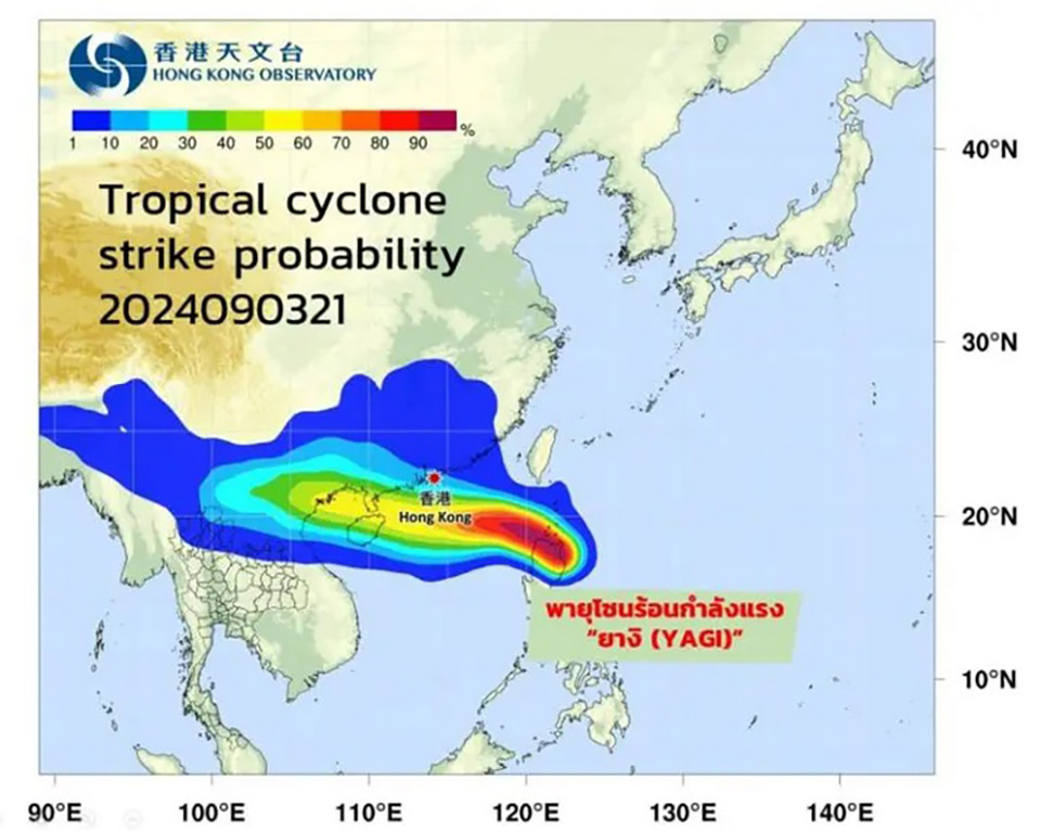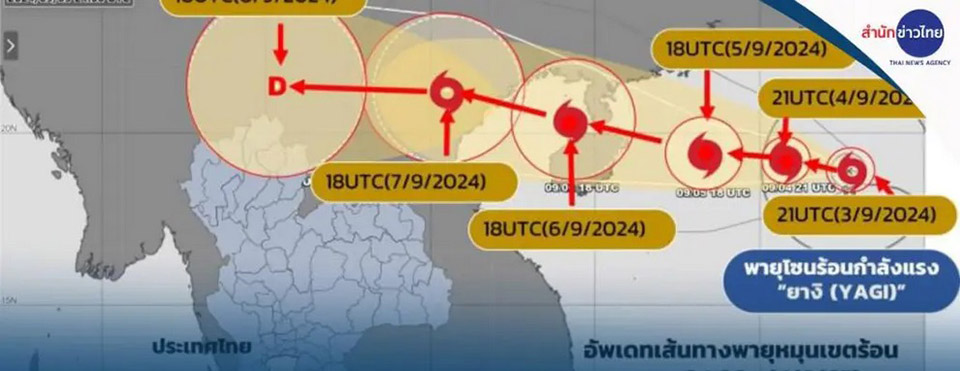
BANGKOK, Thailand – The Thai Meteorological Department is closely monitoring the severe tropical storm “Yagi” currently located in the upper South China Sea. The storm is expected to make landfall in northern Vietnam around September 7-8, 2024, before weakening as it moves into Laos. While the storm is not expected to directly impact Thailand, it will cause an increase in rainfall across the country, particularly from September 8-13, 2024, with the northern regions being most affected.
Director of the Weather Forecast Division, Somkuan Tonjan, reported that “Yagi” is moving west-northwest and is expected to intensify as it remains over the sea. The storm is forecasted to cross Hainan Island and the Gulf of Tonkin before reaching Vietnam. Once it moves into Laos, it will weaken, but the storm will strengthen the southwest monsoon over Thailand, leading to increased rainfall, particularly in northern and northeastern regions.
Although “Yagi” will not directly hit Thailand, its influence will cause stronger southwest monsoon winds, leading to more widespread and heavier rainfall in several areas. These include the lower northern region, central region, northeastern region, including Bangkok and its vicinity, the eastern region, and the southern region, particularly the Andaman coast. This could result in flash floods, forest runoff, and strong winds. Fishermen and small boat operators are advised to exercise caution and avoid going out to sea during this period.
The public is urged to stay informed through official weather updates from the Meteorological Department and to remain vigilant during this period of increased weather activity. (TNA)


